Tract Maps
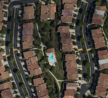
We offer assistance in Tract Maps for residential projects. Licensed to perform Civil Engineering and Land Surveying work and services in the State of California.
Read More
GIS
A mapping system that uses computers to collect, store, manipulate, analyze, and display data. GIS stands for geographic information systems. A GIS uses computers and software to leverage the fundamental principle of geography. Geography is information about the earth’s surface and the objects found on it.
Read More
Land Development
We offer all aspects of civil engineering associated with land development.
Read More
Water Plans
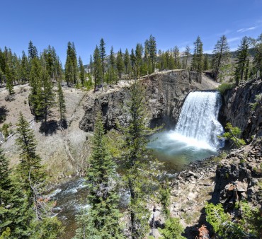
The city of Bakersfield Engineering and Construction Services and Traffic Engineering division of the Department of Public Works work closely with staff from the Community and Economic Development Department to provide design guidelines, requirements and oversight for the development and installation of these systems, which are vital to our community
Read More
Surveying & Mapping
Cal Engineering & Survey Inc., is uniquely qualified to serve on surveying and mapping projects. We are well known and respected in Kern County and provide quality services with a responsive and timely management approach.
Read More
Land Surveying
We are a full service Civil Engineering and Land Surveying firm headquartered in Bakersfield, California and servicing the State of California.
Read More


